About the West Pennine Moors
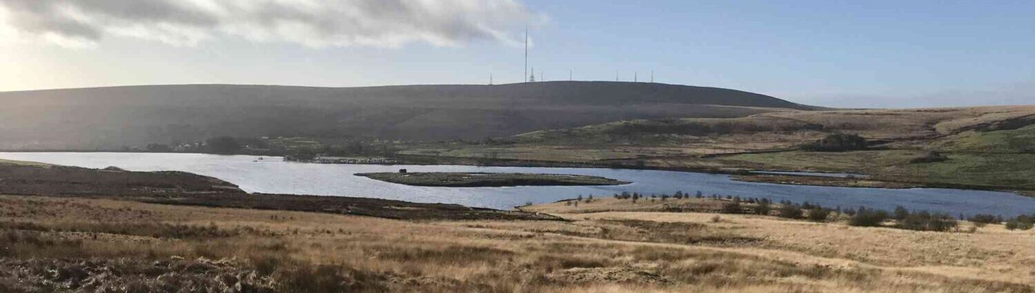
The West Pennines Moors covers an area which spans from Blackburn and Oswaldtwistle in the north to Bolton in the south, from Chorley in the west across to Ramsbottom in the east. The total area encapsulated is roughly two hundred and thirty square kilometres of Lancashire countryside, including multiple moorlands, reservoirs and hills. The highest hill in the area is Winter Hill whose feet stand on the moors of Smithills and Rivington and is the parent peak to the following summits:
- Adam Hill
- Brown Hill
- Brown Lowe
- Burnt Edge
- Cartridge Hill
- Crooked Edge Hill / Two Lads
- Counting Hill
- Darwen Hill
- Great Hill
- Healey Nab
- Redmond's Edge
- Rivington Pike
- Spitlers Edge
- Turton Heights
- White Brow
As can be expected the prevailing soil type is peat. The high moorland is underlain with Carboniferous rocks, the Millstone Grit, sandstones and shales of the Lower Coal Measures which rise high above the Lancashire Plain to the west and Greater Manchester conurbation to the south. From the summit it is possible to see Blackpool Tower, the Lake District mountains, the Welsh mountains, the Forest of Bowland (including Pendle Hill), Whernside and Pen-y-Ghent and as far as the Isle of Man. The Pike has many prehistoric sites nearby, at Noon Hill tumulus on Winter Hill, Pike Stones and Two Lads, in the valley is Coblowe hillock by the Lower Rivington Reservoir. There are records of flint chipping being found at the Pike and moorland.
Socials Navigation
Copyright © 2024 West Pennines Wanderer